
OuiSi Nature · Card 101
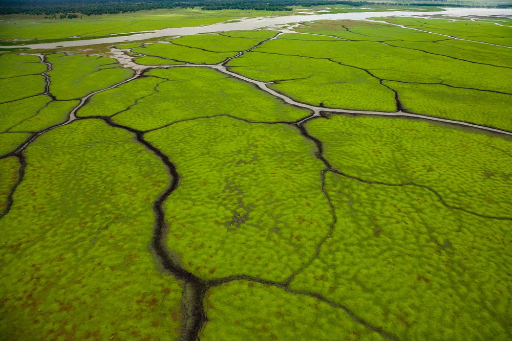
Lake Urema Floodplain
- Location
- Gorongosa National Park, Mozambique
- Date
- July 28, 2014
 Photograph byJen Guyton
Description
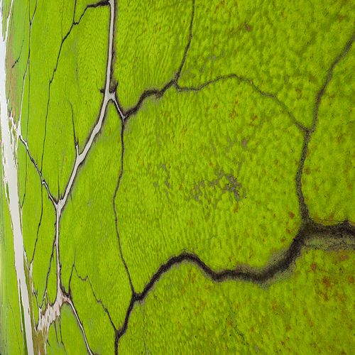
An aerial view of channels on the floodplain of Gorongosa National Park, Mozambique. This part of the park is underwater for 3 months of the year. As it starts to dry out, hippos and antelope use these channels to travel, deepening them for the next year. This positive feedback cycle creates these beautiful patterns that can only be seen from the air.
Photo linkinstagram.com/p/BtY_BOKgFeB
Learn morejenguyton.com/gorongosa-national-park
The photographer
Jen Guyton
NatGeo Explorer, International League of Conservation Photographers Fellow, Ph.D Ecologist
Learn more about Jen GuytonExplore more with OuiSi Nature
-
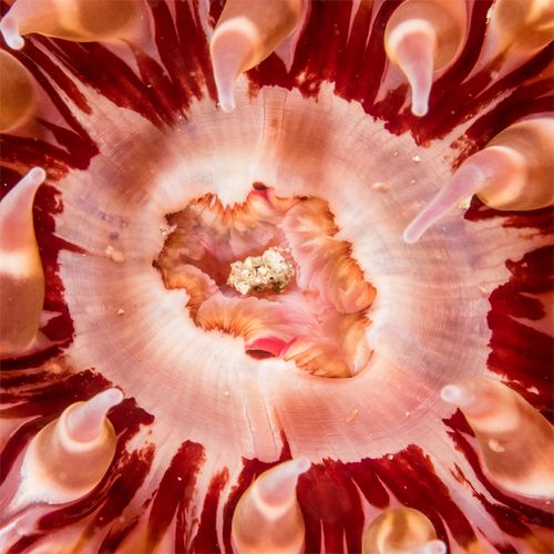

Mouth of White-spotted Rose Anemone
Kate Vylet -
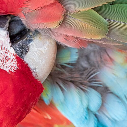

Red-and-green Macaw
Melissa Groo -
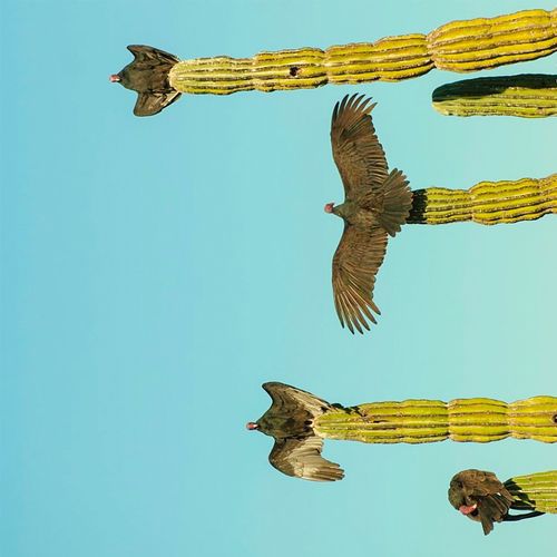

Turkey Vulture
Octavio Aburto -
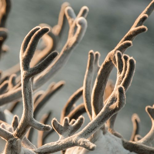

Reindeer Antlers
Kiliii Yüyan -
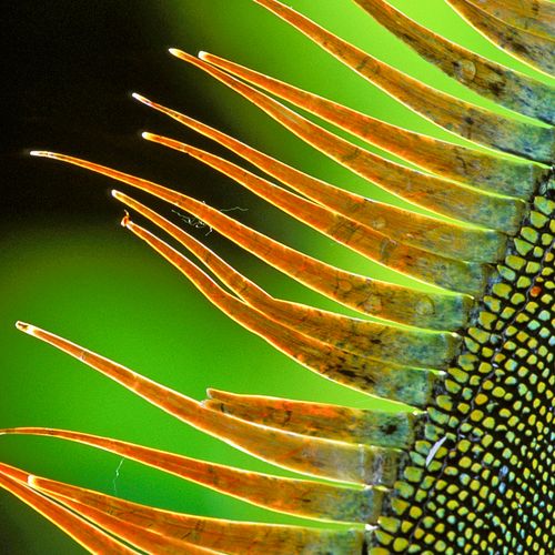

Male Iguana
Christian Ziegler -
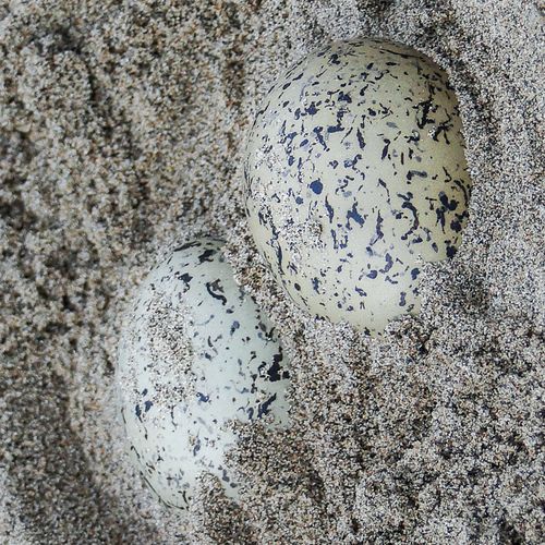

Southern Lapwing Eggs
Inaê Guion